Recent searches
Search options
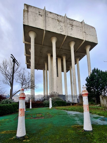
In the shadow of the Cranhill Water Tower in the east of Glasgow is a large map showing the locations of major lighthouses around the British coastline, complete with 75cm high model lighthouses. This seems to have been inspired by the nearby streets which are also named after a number of these lighthouses, such as Bell Rock, Newhaven, Lamlash and Skerryvore.
Cont./
I'm not too sure when it was installed, but it's an interesting idea. However, it's now in need of some serious TLC as much of it is now barely visible.
Looks like a strange bedraggled riff on The Cone!


